

A powerful magnitude 7.3 earthquake struck the border region of Mexico and Guatemala early Sunday morning, triggering widespread alarm, localized structural damage, and a temporary tsunami warning that emergency services have since deactivated. The U.S. Geological Survey (USGS) located the epicenter of the deep tremor approximately 30 miles southwest of Aquiles Serdan, Mexico.
The tremor, which struck at 5:14 AM local time, shook buildings as far away as Guatemala City and San Salvador. Panicked residents rushed into the streets as car alarms blared and power lines swayed violently. Despite the intensity of the shaking, initial assessments indicate that the depth of the quake mitigated widespread devastation.
A Region Shaped by Tectonic Forces
The border between Mexico and Guatemala lies directly above the complex boundary where the Cocos tectonic plate subducts beneath the North American and Caribbean plates. This subduction zone is historically responsible for some of the most devastating earthquakes in Central American history, including the catastrophic 1976 Guatemala earthquake.
According to the National Seismological Service of Mexico, the region experiences thousands of low-magnitude tremors annually. However, events exceeding magnitude 7.0 are relatively rare and pose severe hazards to vulnerable mountain communities. The geological characteristics of the Chiapas highlands amplify seismic waves, making rural settlements particularly susceptible to landslides.
Emergency Response and Tsunami Scares
Immediately following the main shock, the Pacific Tsunami Warning Center issued a localized marine threat warning, projecting hazardous waves for coastlines within 180 miles of the epicenter. Civil protection authorities in the Mexican state of Chiapas and the Guatemalan department of San Marcos initiated preemptive evacuations of low-lying coastal villages.
The tsunami alert created temporary chaos as thousands of residents sought higher ground along coastal highways. Fortunately, oceanographic sensors recorded no significant anomalies in sea level, prompting authorities to lift the warning approximately two hours later. “The rapid response protocols functioned as designed, preventing mass panic along the coast,” stated Manuel Guzman, Director of Chiapas Civil Protection.
In municipal areas like Tapachula, emergency crews worked through the morning to clear debris from blocked streets. Hospital staff evacuated patients temporarily as a precautionary measure while engineers assessed structural integrity. Most medical facilities reported only minor cosmetic damage, allowing doctors to resume normal operations quickly.
Scientific Analysis and Structural Performance
Seismologists note that the earthquake occurred at a depth of roughly 37 miles (60 kilometers), classified as an intermediate-depth event. This depth played a crucial role in preventing a major humanitarian disaster. “A shallower earthquake of this magnitude would have caused catastrophic damage to infrastructure,” explained Dr. Elena Mendez, a seismologist at the Autonomous University of Chiapas.
Dr. Mendez pointed out that deeper earthquakes allow seismic energy to disperse over a broader geographic area, reducing the peak ground acceleration near the epicenter. Consequently, while millions of people felt the shaking, the destructive force at the surface remained manageable. Nevertheless, secondary hazards like landslides remain a primary concern in the mountainous border terrain.
Guatemala’s national disaster agency, CONRED, reported that several major highways suffered blockages due to rockfalls. Emergency crews deployed heavy machinery to clear key transit routes connecting rural agricultural hubs to major cities. Power outages affected approximately 120,000 people across both nations, but utility companies restored electricity to most areas by Sunday afternoon.
Implications for Infrastructure and Future Preparedness
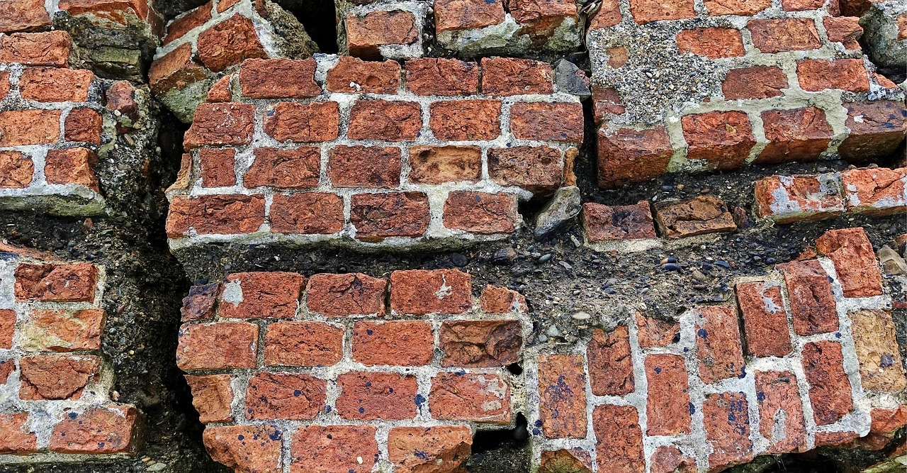
This seismic event underscores the ongoing challenges of infrastructure resilience in developing border regions. While modern commercial buildings in urban centers withstood the shaking with minimal damage, older adobe and non-reinforced masonry homes in rural areas suffered partial collapses. This contrast highlights a persistent socioeconomic gap in earthquake preparedness.
Geologists warn that the region must prepare for a sequence of strong aftershocks over the coming weeks. These secondary tremors can trigger further landslides on slopes already destabilized by the main shock, especially with the rainy season approaching. Civil defense agencies are urging mountain communities to monitor local hillsides for signs of movement and crack formation.
Governments in both Mexico and Guatemala are expected to face renewed calls to tighten building codes and invest in rural retrofitting programs. As seismic monitoring technology improves, trans-boundary cooperation between disaster response agencies will remain critical to managing the shared risks of this highly volatile tectonic border.



























Leave a Reply