
The escalating challenges posed by climate change necessitate precise and continuous observation of environmental shifts. Across the globe, including within nations like Britain, specialized mapmakers and geospatial experts are at the forefront of this effort. They leverage sophisticated technologies and methodologies to document, analyze, and predict the multifaceted impacts of a changing climate, providing invaluable data for policy-making and adaptation strategies.
Introduction to Geospatial Climate Monitoring
Geospatial climate monitoring involves the collection, analysis, and visualization of geographically referenced data to understand environmental phenomena. This discipline is fundamental to tracking climate change because nearly all its effects, from rising sea levels to altered precipitation patterns, manifest physically across landscapes and seascapes. Mapmakers, equipped with advanced tools, transform raw data into actionable insights, making the invisible impacts of climate change visible and understandable.
The Foundation of Geospatial Data
At the heart of Geospatial Climate Monitoring lies the acquisition of diverse data types. This includes satellite imagery, aerial photography, LiDAR (Light Detection and Ranging) scans, and ground-based surveys. These data sources capture detailed information about the Earth’s surface, its topography, vegetation cover, water bodies, and human infrastructure. By comparing data collected over time, mapmakers can identify subtle yet significant changes indicative of climate trends.
Monitoring Sea Level Rise and Coastal Change
One of the most direct and concerning impacts of climate change is rising sea levels. Mapmakers meticulously track changes along coastlines, identifying areas vulnerable to erosion, inundation, and storm surges. Using high-resolution elevation models and bathymetric data, they can map flood risk zones with increasing accuracy. This information is crucial for coastal communities, informing decisions about infrastructure development, flood defenses, and emergency planning. Repeated surveys reveal the rate at which coastlines are receding or advancing, providing critical evidence of long-term trends.
Analyzing Land Use and Vegetation Shifts
Climate change significantly influences ecosystems and land cover. Mapmakers employ remote sensing techniques to monitor shifts in vegetation patterns, deforestation, desertification, and changes in agricultural land use. Satellite imagery, for instance, can detect alterations in forest health, the spread of invasive species, or the impact of prolonged droughts on agricultural productivity. These maps help scientists understand ecological responses to climate change and assist land managers in developing sustainable practices.
Mapping Flood Risk and Extreme Weather Events
As climate change intensifies, many regions experience more frequent and severe extreme weather events, particularly flooding. Geospatial experts create detailed flood maps that delineate areas susceptible to inundation from rivers, surface water, and coastal surges. These maps are dynamic, incorporating hydrological models and real-time weather data to predict flood extents and depths. Such mapping is vital for urban planning, emergency services, and insurance industries, enabling better preparedness and response to climatic hazards.
Advanced Technologies in Climate Mapping
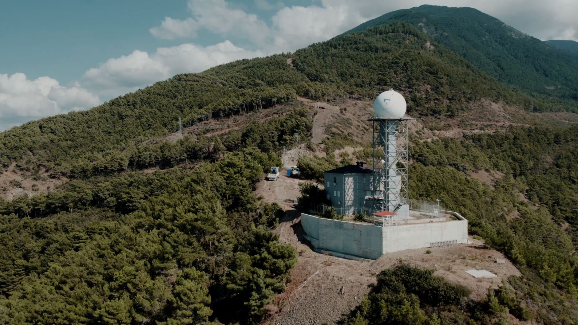
The evolution of technology has revolutionized Geospatial Climate Monitoring. Geographic Information Systems (GIS) serve as powerful platforms for integrating, analyzing, and visualizing vast amounts of spatial data. Remote sensing satellites provide continuous, global coverage, capturing data across various spectral bands to reveal environmental characteristics invisible to the human eye. LiDAR technology offers unparalleled precision in mapping terrain and canopy structures, essential for understanding changes in ice sheets, glaciers, and forest biomass. These tools collectively enhance the ability to detect, measure, and model climate-induced changes with unprecedented detail.
The Importance of High-Resolution Data
Accurate and frequently updated geospatial data is paramount for effective climate monitoring. High-resolution maps allow for the identification of localized impacts and subtle changes that might otherwise go unnoticed. Regular data collection ensures that trends are captured promptly, providing a robust evidence base for scientific research and policy interventions. This continuous stream of information is critical for refining climate models and developing targeted adaptation strategies.
Conclusion
Mapmakers and geospatial professionals play an indispensable role in the global effort to understand and address climate change. By meticulously documenting environmental transformations through advanced mapping techniques, they provide the foundational data necessary for informed decision-making. Their work illuminates the complex interplay between human activity and natural systems, offering a clear picture of climate change impacts and guiding the path toward a more resilient future. The ongoing commitment to Geospatial Climate Monitoring is essential for safeguarding communities and ecosystems against the escalating challenges of a changing world.





















Leave a Reply