
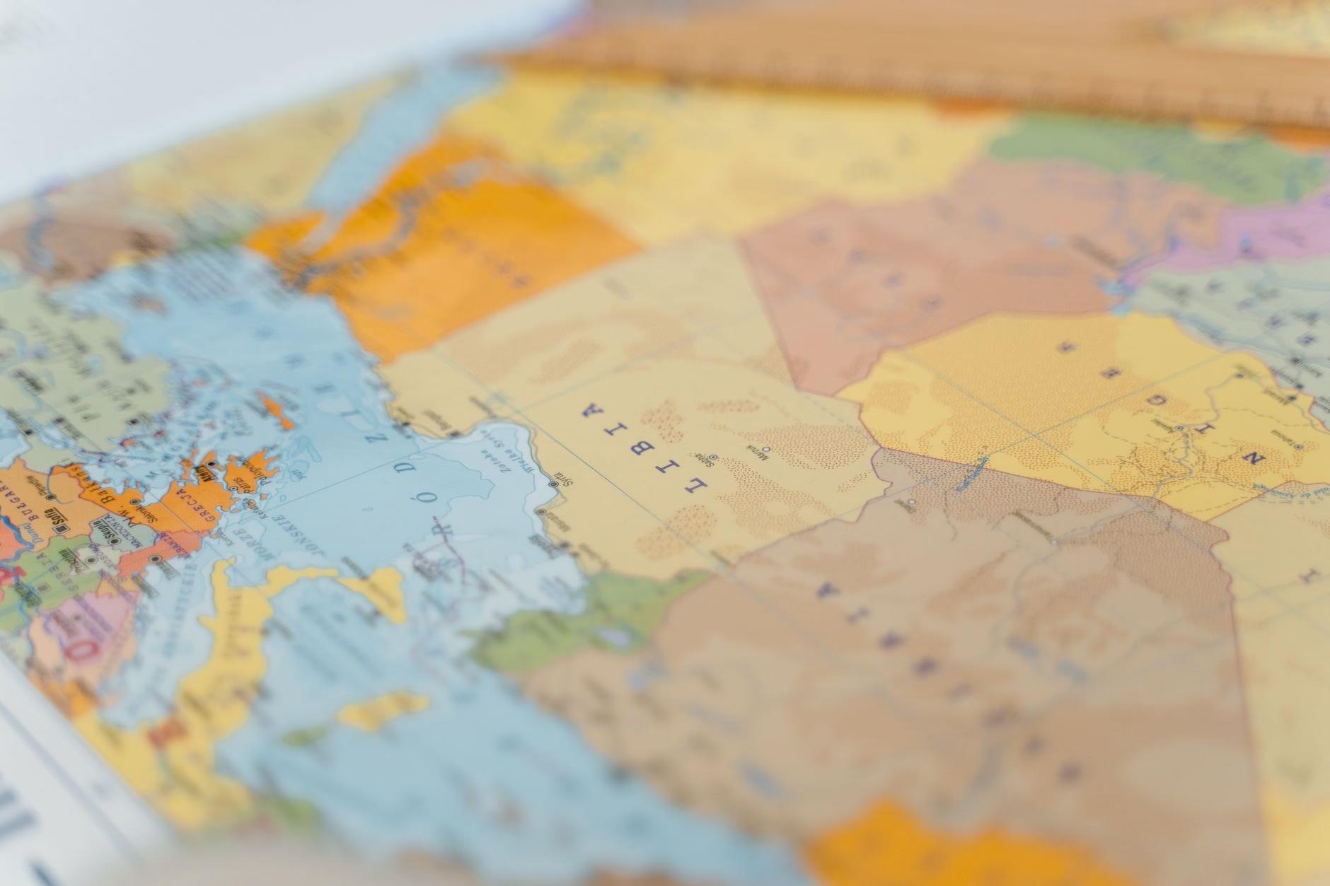
Cartography has long been viewed as a purely scientific and objective discipline. People typically rely on geographical representations to anchor themselves in unfamiliar surroundings or to navigate from one point to another with precision. Yet, as global politics rapidly evolves, a deeper reality becomes increasingly apparent. Geographic depictions of our planet are never truly neutral.
Understanding Cartographic Evolution
Throughout history, visual representations of the Earth have served specific interests rather than simply reflecting an objective reality. Every line drawn to separate territories carries historical weight, ideological intent, and political perspective. When borders shift due to conflict or diplomacy, the newly printed representations instantly mirror those changes, proving that geography is deeply intertwined with human power dynamics.
From Ancient Charts to Modern Data
Early cartographers faced immense challenges when trying to project a three-dimensional globe onto a two-dimensional surface. Every projection method requires compromise. Certain landmasses appear significantly larger than they actually are, while others are diminished. These distortions, often perpetuated for centuries, subtly influence how societies view the relative importance of different regions.
Politics and Territorial Claims
In contemporary geopolitics, official boundaries are frequently contested. Different nations often publish conflicting representations of their borders to assert sovereignty over disputed areas. Consequently, a citizen in one country may view a completely different territorial layout than a citizen residing across the border. These discrepancies highlight the subjective nature of cartographic design.
Navigating a Changing World
As digital technology transforms how people access geographic information, awareness regarding the limitations and biases of visual data continues to grow. Recognizing that geographical charts are interpretive tools rather than absolute truths allows individuals to critically analyze global events. Ultimately, understanding the political nature of geography fosters a more informed perspective on international relations and territorial disputes.















Leave a Reply