
Cartographic Accuracy and Global Representation
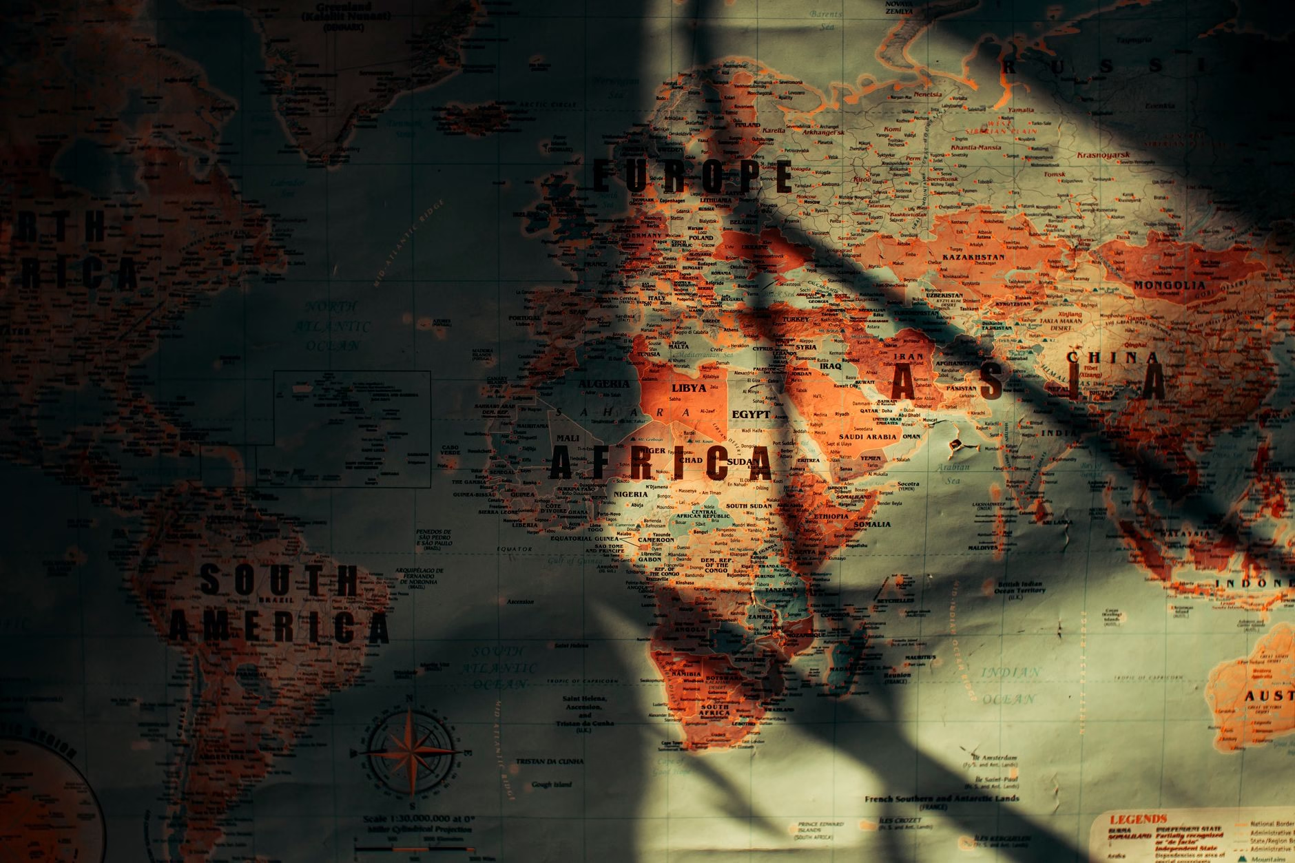
For generations, global cartography has relied on visual representations that significantly misrepresent the scale of various landmasses. Among the most prominent distortions has been the depiction of the African continent. Standard global maps frequently portrayed Africa as much smaller than its actual physical dimensions. This discrepancy has persisted for centuries due to a heavy reliance on traditional map projections developed during earlier eras of navigation and exploration.
The History of Cartographic Distortion
The root of this geographical inaccuracy lies in the methods used to translate a three-dimensional globe onto a two-dimensional flat surface. The most widely utilized standard projection for centuries systematically expands landmasses located further away from the equator while compressing regions situated closer to it. Because the African continent spans the equatorial line, it suffered disproportionately from this spatial compression. Consequently, visual representations conditioned global audiences to perceive the continent as vastly smaller relative to North America and Europe than it truly is in reality.
Shifting Toward Geographical Truth
Addressing these long-standing visual imbalances has been a priority for geographers, educators, and advocates dedicated to global equity. Accurate spatial representation is vital not only for educational accuracy but also for shaping how the world perceives the scale and significance of different regions. By correcting these visual errors, observers gain a more realistic understanding of continental landmasses and their true geographical relationships.
The United Nations Endorsement
In a significant move toward global cartographic reform, international leadership has formally endorsed a new mapping standard. This updated framework provides a much more accurate reflection of Africa’s true size compared to traditional representations. The adoption of this improved standard marks a turning point in how international organizations present geographical data to the public. By embracing a truer representation of the planet, institutions are taking a meaningful step away from outdated historical biases embedded in traditional map designs.
Implications for Education and Media
The endorsement of a more accurate map carries profound implications for educational curricula and media publications worldwide. Schools and universities will now have stronger institutional backing to transition toward modern projections that reflect true geographical proportions. As these updated maps become more widely integrated into textbooks, digital applications, and global reports, public awareness regarding the true scale of continents will gradually shift, fostering a more informed and spatially accurate global perspective.






















Leave a Reply