

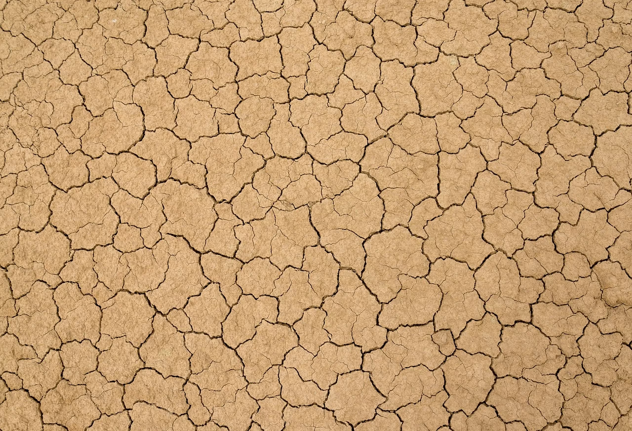
Meteorologists across the region confirmed on Tuesday that the current period of unseasonable dryness is expected to persist well into June, as high-pressure systems continue to dominate the local weather pattern. This prolonged lack of precipitation, which began in mid-May, has prompted concerns among agricultural experts and water management authorities regarding soil moisture levels and regional reservoir capacities.
Understanding the High-Pressure Blocking Pattern
The current dry streak is primarily driven by a persistent atmospheric ridge, commonly referred to as a “blocking high,” which has effectively diverted storm tracks away from the region. According to data provided by the National Weather Service, this stable air mass prevents the development of typical spring showers, locking the area into a pattern of clear skies and warmer-than-average temperatures.
Historically, this transition period into June often features intermittent frontal systems that provide necessary moisture for spring crops. However, the current atmospheric configuration has remained stagnant for over two weeks, a trend that climatologists note is increasingly common in recent decadal patterns of regional weather volatility.
Agricultural and Environmental Impacts
Farmers are closely monitoring the situation as the lack of rainfall coincides with critical growth cycles for seasonal produce. While irrigation systems are currently mitigating immediate crop failure, the sustained heat is accelerating evapotranspiration rates, placing additional stress on local water resources.
Dr. Elena Vance, an agricultural climatologist, noted that while the region is not currently in a state of official drought, the deficit in soil moisture is becoming statistically significant. “We are seeing a departure from the 30-year average for May rainfall totals, which forces producers to rely heavily on groundwater reserves earlier in the season than anticipated,” Vance stated.
Implications for Water Management
Municipal water authorities have begun reviewing conservation protocols as a precautionary measure. While current reservoir levels remain within normal operating ranges for this time of year, officials emphasize that sustained dryness could lead to voluntary, or eventually mandatory, water restrictions if the trend continues into the peak of the summer months.
The impact extends beyond agriculture, as the persistent dry, warm weather has also escalated the fire risk index. Forestry services have issued reminders regarding the proper disposal of flammable materials, noting that the combination of low humidity and dry vegetation creates an environment where fires can spread rapidly if ignited.
Looking Ahead
Forecasters are currently monitoring the development of a potential low-pressure system expected to migrate toward the coast by mid-June, which may offer the first significant chance of rainfall in several weeks. Residents and industry stakeholders are advised to keep a close watch on updated meteorological reports, as atmospheric models suggest that the shift in wind direction could be subtle, potentially delaying the return of wet weather even further.




















Leave a Reply