
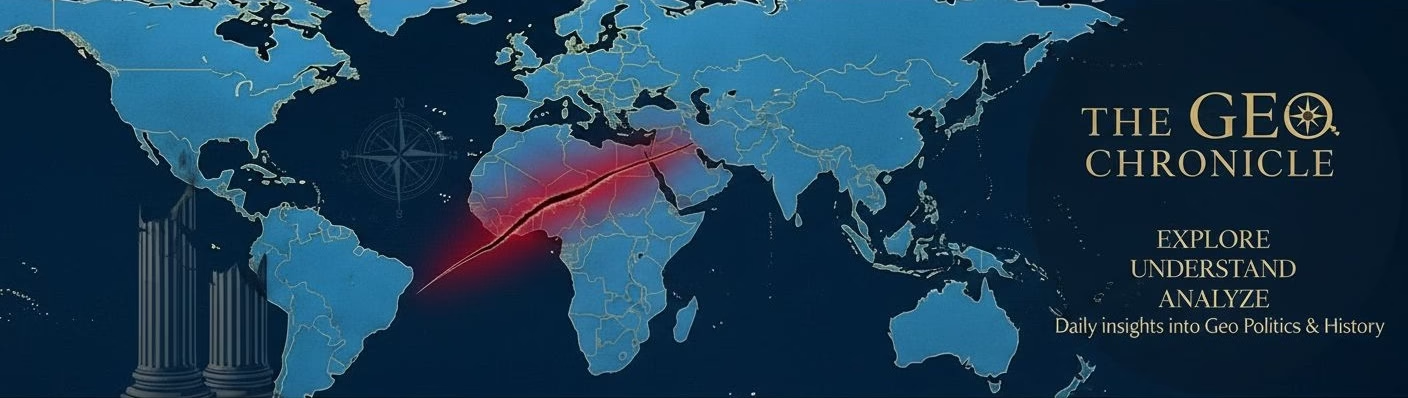


The 2026 Maritime Standoff: Beyond the Red Sea
As of May 2026, the Bab el-Mandeb Strait has transitioned from a temporary disruption zone to a semi-permanent high-risk theater. For business owners and logistics managers, the ‘wait and see’ approach is no longer viable. Insurance premiums for Suez-bound vessels have spiked by 400% since January, effectively closing the primary artery between Asia and Europe for non-state-protected hulls.
The Data Source: Tracking Real-Time Risk
To navigate this, strategic consultants are relying on the ACLED (Armed Conflict Location & Event Data Project) dashboard. Unlike standard news outlets, ACLED allows you to filter for ‘Remote Violence’ and ‘Maritime Incidents’ specifically in the Southern Red Sea. By monitoring the frequency of sub-surface drone deployments, firms can predict freight rate hikes 10-14 days before they hit the spot market.
The Strategic Shift: The Middle Corridor (TITR)
With the Cape of Good Hope route adding 12-15 days to transit times and massive carbon surcharges, global investors are pivoting to the Trans-Caspian International Transport Route (TITR), or the ‘Middle Corridor.’ This route, bypasses both Russia and the Red Sea, moving goods through Kazakhstan, the Caspian Sea, Azerbaijan, and Georgia into Turkey.
Actionable Intelligence for Stakeholders
- For Logistics Managers: Re-allocate at least 20% of your EU-bound volume to rail-to-sea intermodal options via the Port of Aktau. While the per-container cost is higher than 2024 ocean rates, the reliability score currently exceeds the Red Sea route by 65%.
- For Global Investors: Monitor the Flexport Ocean Timeliness Indicator (OTI). When the OTI for Far East Westbound exceeds 85 days, expect a surge in demand for regional warehousing in Turkey and Poland.
- For International Freelancers: Currency volatility in the Turkish Lira (TRY) and Kazakh Tenge (KZT) is increasing due to heavy infrastructure investment. Hedge your contracts by fixing rates in USD or EUR for services rendered in these emerging transit hubs.
The Bottom Line
The geopolitical map is being redrawn by drone technology and maritime denial. Success in this environment requires moving away from ‘Just-in-Time’ inventory and embracing a ‘Multi-Corridor’ strategy. Use live data from MarineTraffic to identify vessel clustering at the Port of Poti; this is your leading indicator for inland congestion and impending price adjustments in the European retail sector.
























Leave a Reply